Search
Close this search box.

Agencies continue to monitor oil discharge from artificial reef in Destin

The Coast Guard and Florida’s Department of Environmental Protection (DEP) are continuing to monitor periodic discharges of oil from the Liberty Ship Thomas Heyward. The World War II-era vessel was sunk in 1977 to serve as an artificial reef approximately six miles southwest of Destin, Florida.  Get The Coast first reported on the slow leak back in October 2021. […]

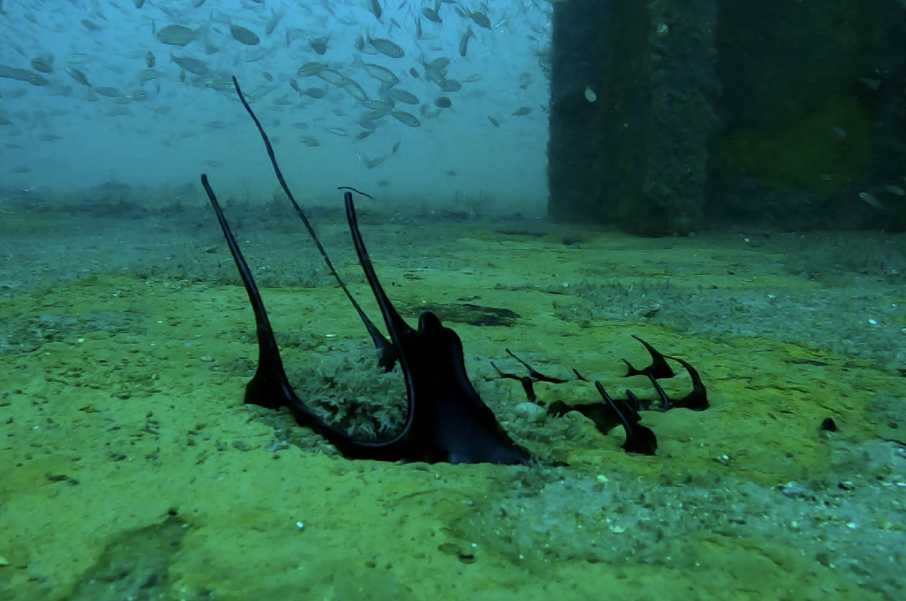
A hole in the deck of the Thomas Heyward Liberty Ship Artificial Reef where an oil-like substance was leaking and slowly rising to the surface. (SOURCE: Alex Fogg)

The Coast Guard and Florida’s Department of Environmental Protection (DEP) are continuing to monitor periodic discharges of oil from the Liberty Ship Thomas Heyward.

  • The World War II-era vessel was sunk in 1977 to serve as an artificial reef approximately six miles southwest of Destin, Florida. 

Get The Coast first reported on the slow leak back in October 2021. Okaloosa’s Coastal Resource Manager Alex Fogg was alerted to the leak by local dive operator Nancy Birchett of ScubaTech Northwest Florida. (Read original report)

Following Hurricane Sally in September 2020, the National Response Center (NRC) began receiving reports of pollution in the vicinity of the artificial reef. According to a press release from the Coast Guard, personnel conducted preliminary investigations.
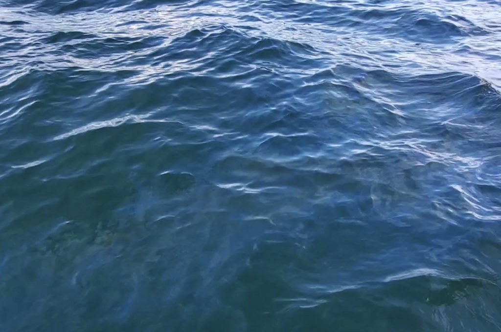
Topside photo of observed oil sheen. (SOURCE: Alex Fogg)

Since receiving initial reports of pollution, the Coast Guard, together with federal, state, and local stakeholders, continued to monitor the situation. Earlier this year, the Oil Spill Liability Trust Fund (OSLTF) was utilized by the Coast Guard for further assessment and potential cleanup operations. 

  • According to the Coast Guard, the OSLTF was established as a funding source to pay appropriate assessment, removal costs, and damages resulting from oil spills or substantial threats of oil spills to navigable waters of the United States. 

In August and September of 2022, the Coast Guard received additional NRC reports of pollution in the vicinity of the artificial reef. The Sector Mobile NOAA Scientific Support Coordinator and Coast Guard members again assessed the site in September 2022. 
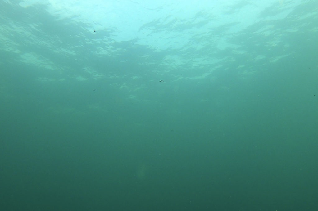
Small oil-like droplets can be seen rising to the surface from a leak in the Thomas Heyward Liberty Ship Artificial Reef. (SOURCE: Alex Fogg)

The Coast Guard reports that an oil sheen was observed in the vicinity of the artificial reef and a sheen sample was collected for laboratory analysis. Lab results identified the surface sheen sample as consistent with a heavy marine fuel oil. A follow up assessment in November 2022 indicated no sheen in vicinity of the reef.
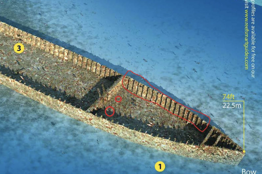
Zoomed in section of a 3D model of the Thomas Hayward Liberty Ship that was produced from data collected in October 2019. The large red rectangle illustrates the section of hull that has collapsed-in due to Hurricane Sally. The two smaller red circles indicate an approximate location of where an oil-like substance was observed rising from below deck. This model was created and provided to Okaloosa County by Reef Smart Guides. (SOURCE: Alex Fogg)

In the press release, the Coast Guard states that “the periodic discharges appear to be seasonal in occurrence and may be associated with warmer weather and higher sea temperatures that would allow the residual oil remaining in the artificial reef to move more freely and ultimately discharge from any tank openings.”

  • They added, “these discharges may result in visible surface and, or subsurface expressions of oil.”

All mariners are recommended to avoid contact with any product discharged from the artificial reef. Mariners are encouraged to report signs of pollution to the NRC at 1-800-424-8802. The NRC is staffed 24 hours a day, seven days a week.

Join the conversation...

Continue reading 👇

Community Comments

“The Big U! The NMU supplied the unlicensed crew and when we lost this ship and its jobs and when U.S. Lines went bankrupt, we were on our way to...”
Respond
“Highschool is finna be more crowed now. We need another highschool not a middle or elementary school.”
Respond
“This is bittersweet. I spent a wonderful week in Cay Sal Banks on the Pilot in 2006. I will have to go pay her a visit soon....”
Respond
“I agree with Jerome. What will this accomplish since both ends are only 4 lanes?”
Respond
“The parking lot at McGuires would disappear along with the parcel that Destin purchased at the bridge.. Flooding on Okaloosa Island would close an expensive update to 98 , at...”
Respond
“This will not make a difference for traffic passing through the center of Destin along Rt. 98. The smart option is to complete the Brooks Bridge and intersection in Ft...”
Respond
“Doesn’t it still end up with 4 lanes on either end after bridges? Seems more aesthetic than a traffic plan. Which is nice too but does it increase the function?”
Respond
“It would be a money pit let’s sink it for the tourists who we don’t have enough of so more will come”
Respond
“Traffic moves pretty well on that stretch of 98, I don't see the need to waste the money. Maybe do something to deal with the traffic in Destin, and Mary...”
Respond