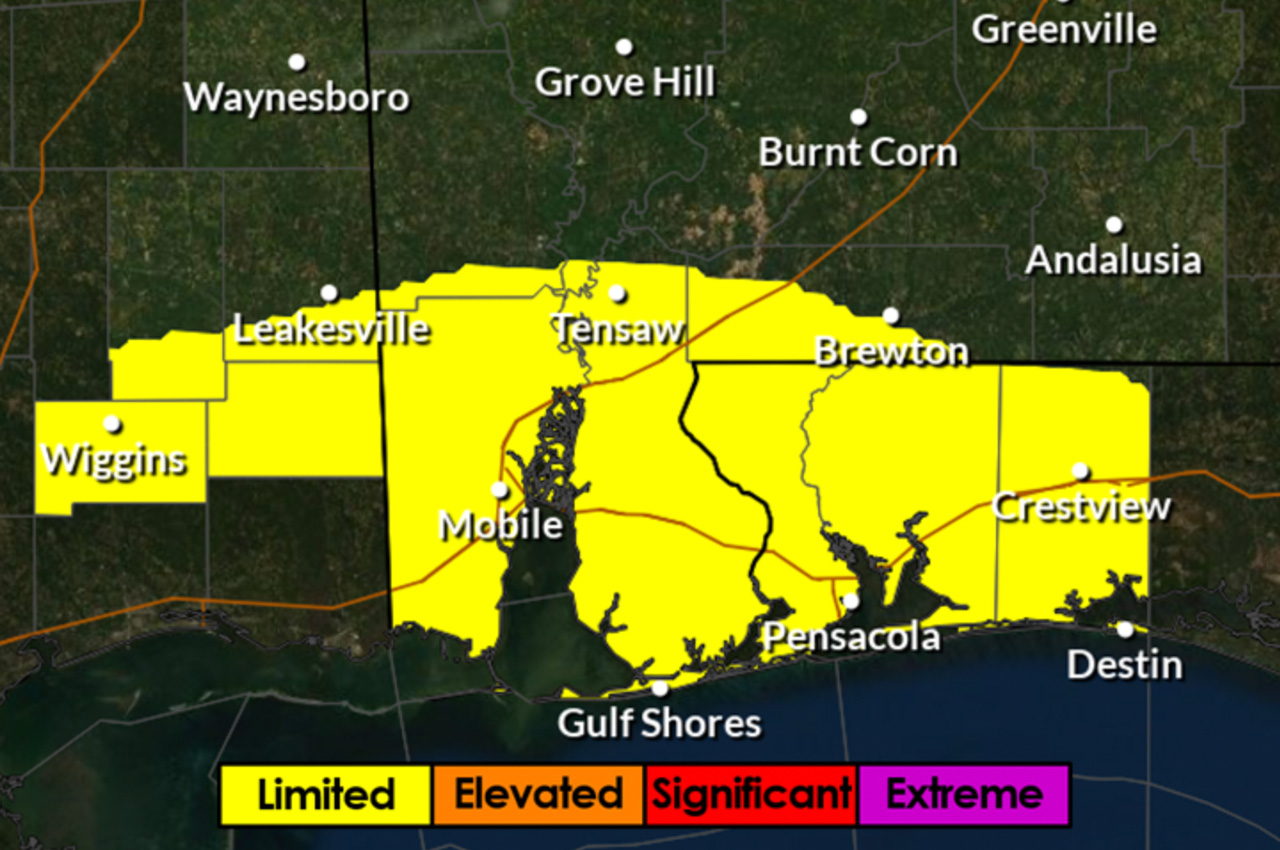
A “potent cold front” approaching Okaloosa County Tuesday night is expected to bring heavy rainfall and potential flooding to parts of the region, along with significant coastal impacts, county officials announced Monday.
The southern portion of the county could see more than 5 inches of rain, with 3-5 inches expected across other areas, according to Patrick Maddox, Director of Public Safety for Okaloosa County. While much of the region remains under moderate to extreme drought conditions, officials are monitoring the potential for localized flooding.
“We are concerned about the potential for repeated rounds of heavy rain potentially overwhelming the soils and leading to minor, nuisance flooding across the southern portion of our area,” Maddox said.
Coastal impacts include high-risk rip current conditions through Wednesday along coastal Alabama and northwest Florida beaches. Officials expect surf heights of 5-7 feet tonight through Wednesday.
- Minor coastal flooding is anticipated during late night high tide, with water levels projected to rise 2.0-2.5 feet above Mean Higher High Water along the entire coastline. Another brief increase to advisory levels could occur Tuesday night ahead of the cold front.
While officials have not issued a Flood Watch for the affected counties, they continue to monitor conditions and may issue one if confidence in widespread flooding increases.


