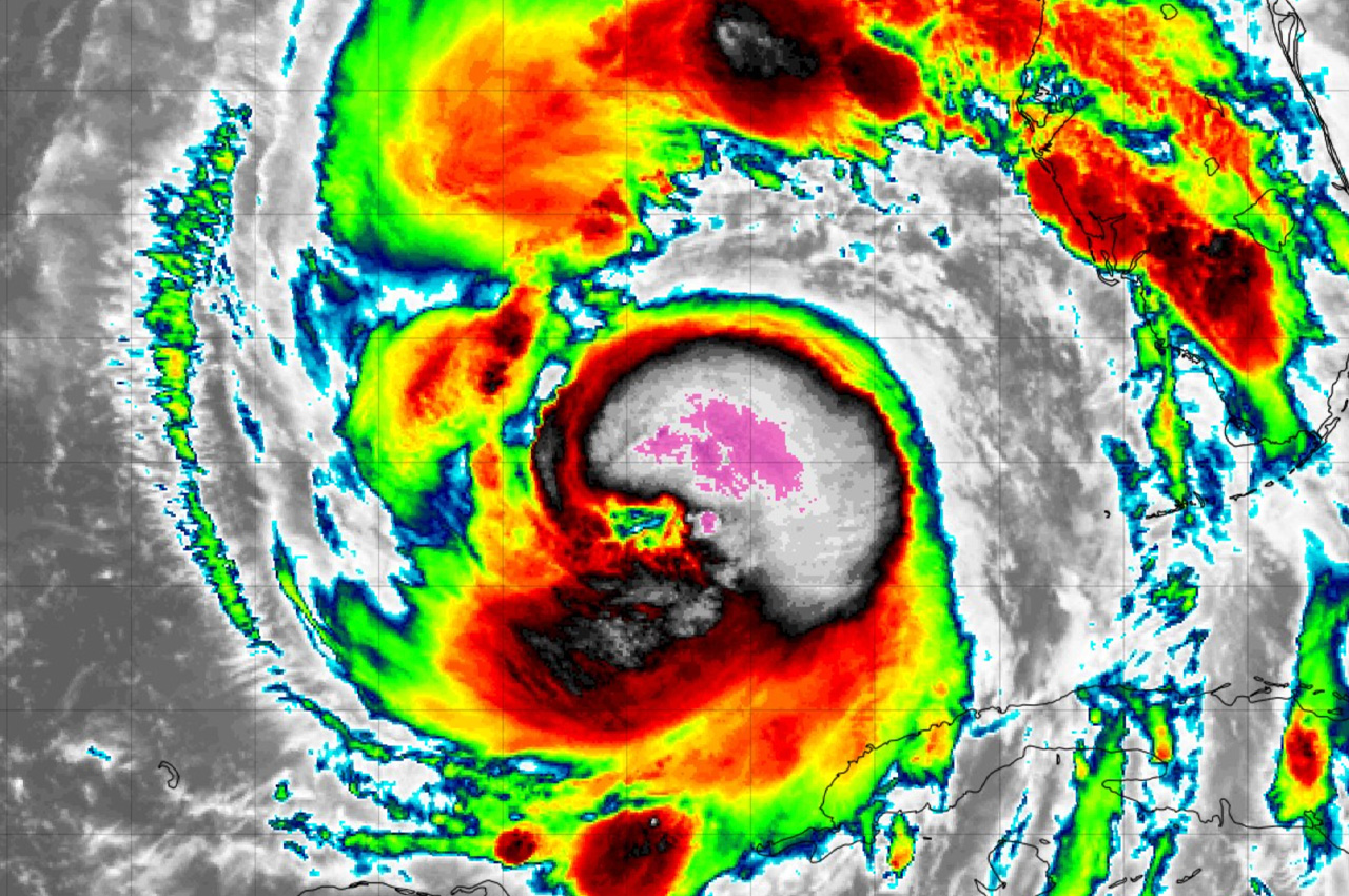
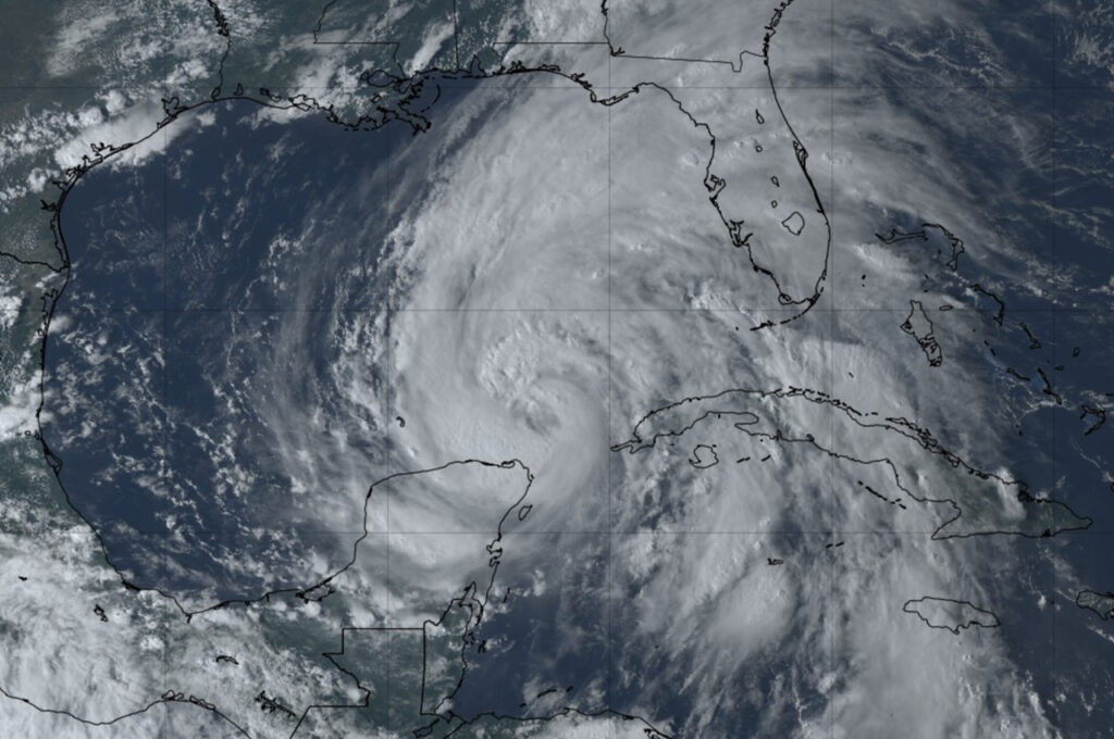
Hurricane Helene rapidly intensified into a Category 2 storm early Thursday, prompting urgent warnings for residents along Florida’s Gulf Coast to complete preparations as the powerful system approaches.
- As of 7 a.m. CDT Thursday, the National Hurricane Center (NHC) reported Helene’s maximum sustained winds had increased to 100 mph. The storm was located about 320 miles southwest of Tampa and 365 miles south of Apalachicola, moving north-northeast at 12 mph.
Forecasters expect Helene to continue strengthening, likely becoming a major hurricane before making landfall on Florida’s Big Bend coast Thursday evening or early Friday morning.
“Helene is expected to be a major hurricane when it reaches the Florida Big Bend coast this evening,” the NHC stated in its advisory this morning. “Preparations to protect life and property should be rushed to completion.”
A life-threatening storm surge warning is in effect for much of Florida’s west coast, from Mexico Beach to Flamingo, including Tampa Bay and Charlotte Harbor. The NHC warns that water levels could reach 15 to 20 feet above ground in some areas between Carrabelle and the Suwannee River.
- Hurricane warnings extend from the Anclote River to Mexico Beach, with tropical storm warnings covering a broader area including the Florida Keys and parts of Cuba.
Heavy rainfall is expected to cause flash flooding and urban flooding across the southeastern U.S., with 6 to 12 inches of rain forecast and isolated totals up to 18 inches possible. The NHC warns of significant river flooding and numerous landslides in the southern Appalachians.
- The risk of tornadoes is increasing, particularly in northern Florida, southeast Georgia, and parts of the Carolinas.
In Okaloosa County, Public Safety Director Patrick Maddox reported that while the area is not under a tropical storm warning, residents should still expect periods of rain and gusty winds.
“We’ll still experience periods of rain and gusty winds, but no tropical storm warning for Okaloosa at this time,” Maddox stated in a morning update. “This doesn’t mean a dry, sunny day for us.”
As Helene approaches, officials stress the importance of following evacuation orders and taking all necessary precautions to protect life and property.


