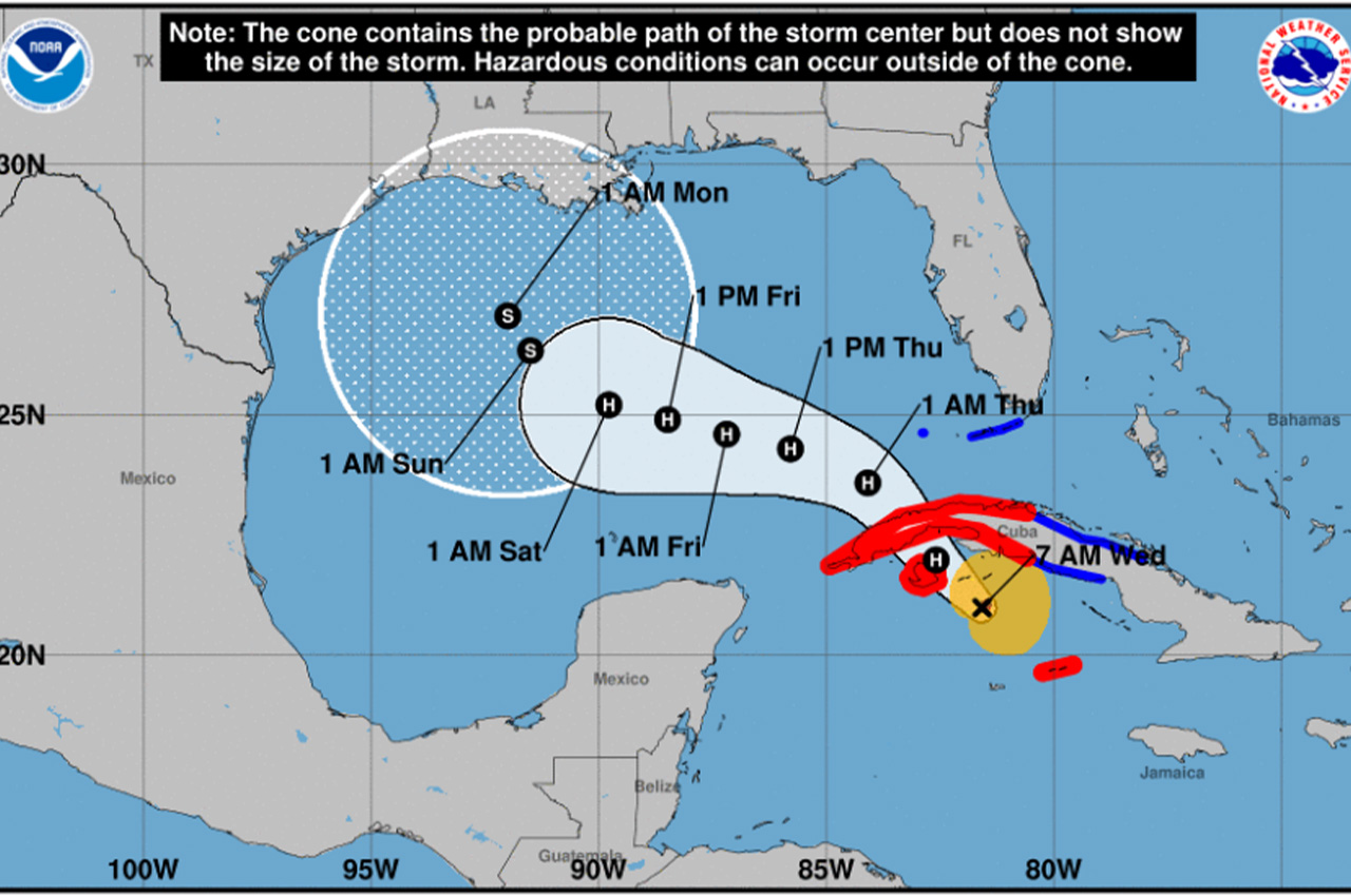
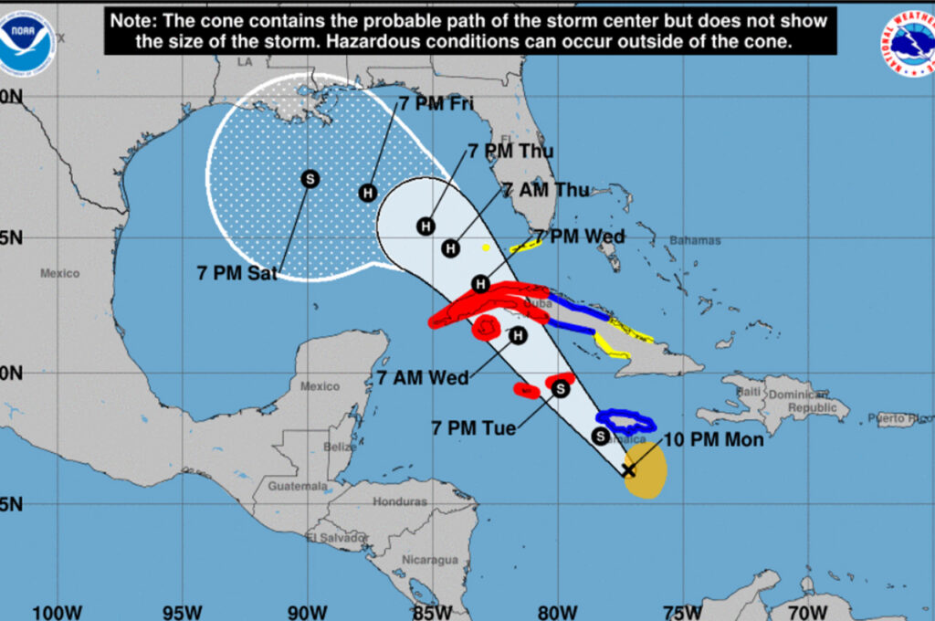
Latest forecasts show Hurricane Rafael tracking further south and west, reducing the likelihood of significant impacts to Okaloosa County, local emergency management officials reported Wednesday.
- Okaloosa Public Safety Director Patrick Maddox shared in his morning update that Rafael has strengthened into a Category 2 hurricane with maximum sustained winds of 100 mph, moving northwest at 14 mph.
“The system has a tight inner core with a relatively small eye indicating its strength and ability to further intensify,” Maddox said. “It is expected to be near major hurricane strength when making landfall in Cuba.”
The National Hurricane Center has issued hurricane warnings for western Cuba and the Isle of Youth, where residents should prepare for damaging hurricane-force winds, life-threatening storm surge, and destructive waves. Tropical storm conditions are expected to reach the Lower and Middle Florida Keys today and tonight.
- After crossing Cuba, Rafael is expected to encounter less favorable conditions in the Gulf of Mexico. “After it emerges into the Gulf, it will be subject to dry air and high vertical wind shear which will weaken the system,” Maddox explained.
The overnight forecast update showed another shift to the south and west, moving Okaloosa County out of the area expected to experience tropical storm-force winds. Some models suggest Rafael could track even further west or move toward the southwestern Gulf rather than turning north toward Louisiana.
“The official forecast track does not yet reflect this as more model runs showing that solution would be needed to have more confidence,” Maddox said. “Either way, good news for us at the moment, and we hope these trends hold.”
Local emergency management officials will continue monitoring the system and providing updates as the situation develops.


