Meteorologists are carefully tracking the latest model runs for the possibility of snow on Sunday, according to a message Okaloosa County Public Safety Director Patrick Maddox sent Wednesday afternoon.
- The forecast has been inconsistent, swinging from flurries to wintry mix to 1 inch of accumulation, Maddox wrote.
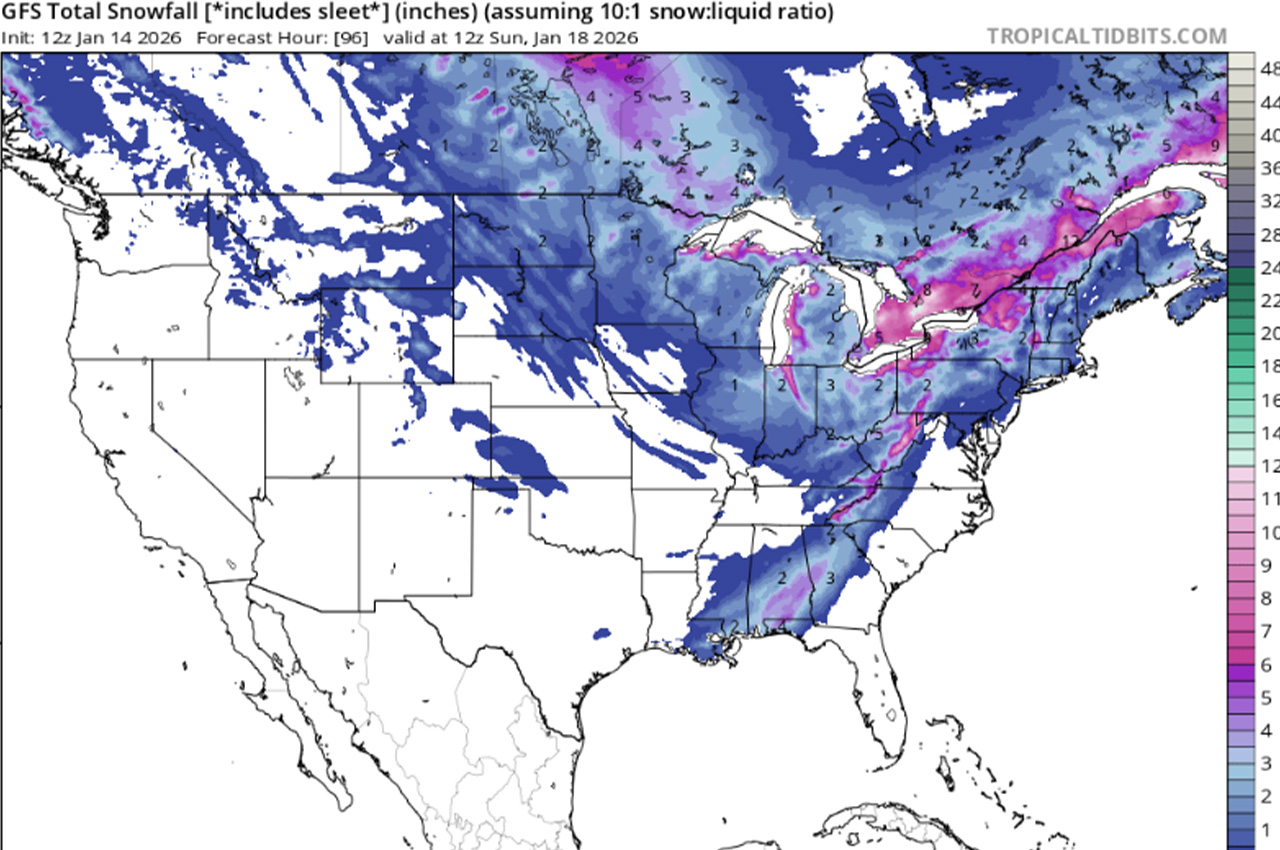
He reviewed the latest GFS, Euro and CMC models — the CMC doesn’t bring precipitation south of the Tennessee Valley, but the GFS and Euro show moisture occurring during freezing temperatures.
“You don’t have to be a genius to add those two factors together,” Maddox wrote.
- He emphasized officials will continue monitoring to see if the trend holds, but wanted to ensure no one gets caught off-guard if it occurs.
“We’re not talking Snowmageddon a-la 2025 here, but enough to make driving a challenge if ice or snow decides to stick,” Maddox wrote.
He expects the Florida Division of Emergency Management will hold a conference call about the weather system.
Maddox reminded residents to practice the 5 P’s of cold weather safety — protect people, pets, plants and pipes, and practice fire safety.