Okaloosa County published a draft Baseline Conditions Analysis Report on June 3, 2024, as part of the ongoing North Okaloosa Planning Study. The report is available for public comment on the study’s website for a two-week period.
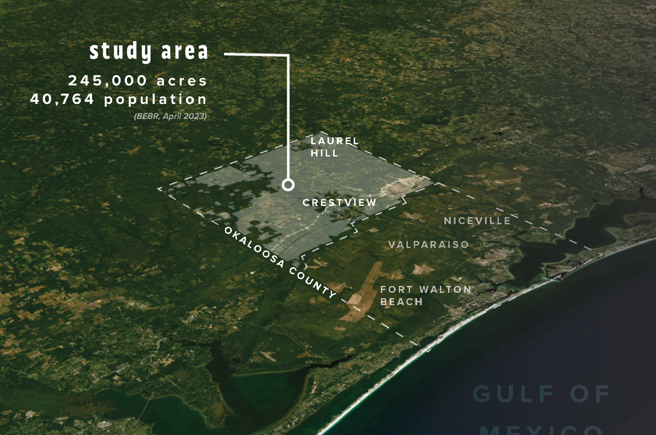
The draft report includes an analysis of population projections for the county and the 245,000-acre study area, a review of the development and regulatory framework, a buildout analysis, and an assessment of infrastructure and service needs.
- The final report will also include updated Planning Profiles.
According to the report, the study area population is projected to increase by 4,823 residents (11.8%) through 2035 based on 10-year population projections from the University of Florida’s Bureau of Economic and Business Research (BEBR). A buildout scenario based on current regulations shows a potential population of 391,802 in the study area.
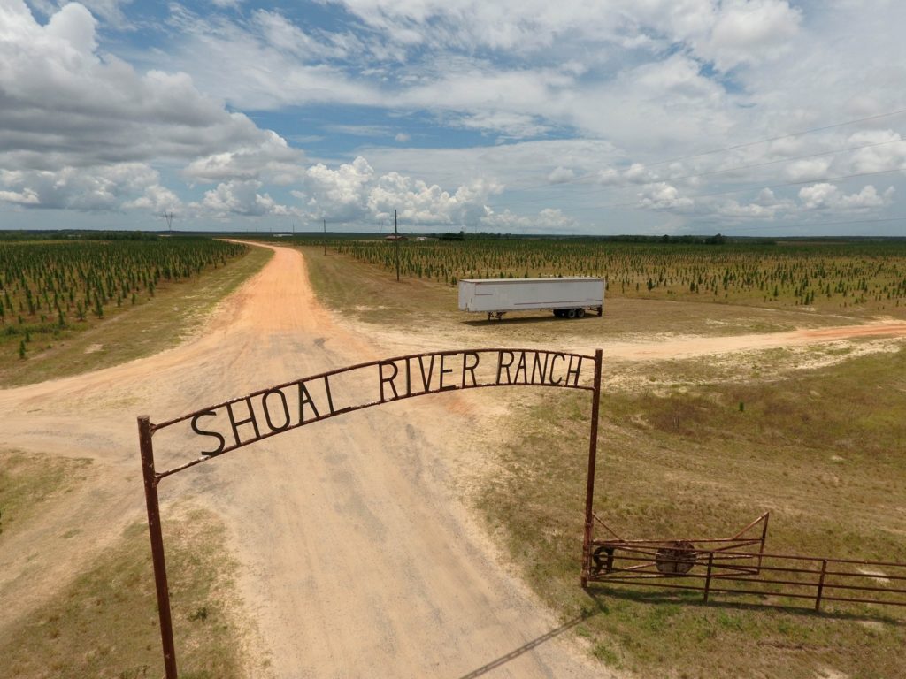
The report also analyzes existing land uses, future land use designations, and development constraints like wetlands. Agriculture and rural lands currently dominate the landscape, covering more than 82% of the study area.
The study evaluates the current and projected level of service through 2035 for transportation, water resources, parks, and public institutions like schools and emergency services, identifying some infrastructure deficiencies.
The purpose of releasing the draft analysis is to allow the public to provide feedback on its contents before the final report is published towards the end of June.
- Comments can be submitted until June 19 to the email address located on the project website at northokaloosa@inspireplacemaking.com.
The Baseline Conditions Analysis Report is one of several tasks outlined within the Scope of Work associated with the overall Planning Study, as included in the recently published Public Input Calendar on the project website.


