Okaloosa County unveiled a new Road Management Information app Tuesday that helps residents identify whether city, county or state agencies are responsible for maintaining specific roadways.
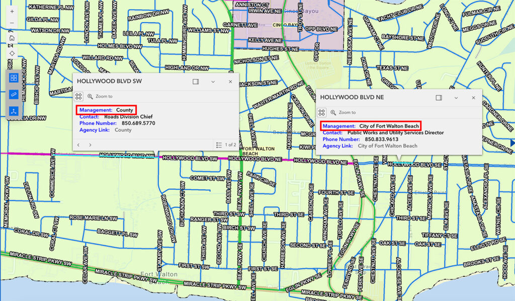
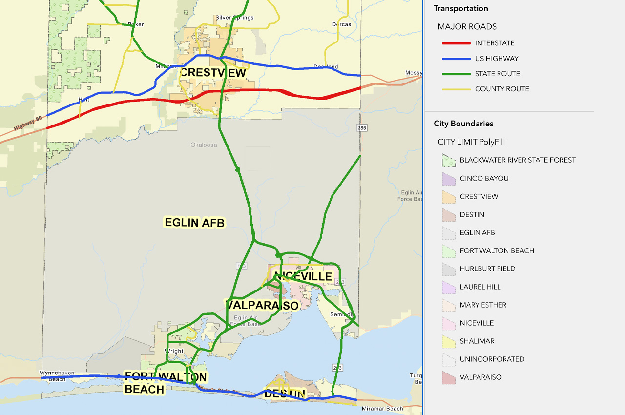
- The web-based tool, presented during the Board of County Commissioners meeting, uses a color-coded interactive map to show jurisdictional boundaries and provide contact information for reporting road issues like potholes, striping, and paving concerns.
“One of the things that we get the most concerns and complaints about are roads,” said Commissioner Carolyn Ketchel, who initially proposed the idea after discussions with Public Works Director Jason Autrey. “Hollywood Boulevard is a nightmare because it’s in the county at some points, it’s also in the city of Fort Walton Beach, and it’s also in the city of Mary Esther.”
Dan Sambenedetto, head of the county’s IT department, said the application combines existing Geographic Information System (GIS) data from Public Works and municipalities. Users can search by address or click directly on roads to determine jurisdiction and find relevant contact information.
- “It’s data that we’ve had internally for years, but we just didn’t have the idea to package it up and make it available to the public in an easy-to-use interface,” Sambenedetto said.

The tool aims to eliminate confusion about road maintenance responsibilities. For example, while residents often contact the county about State Road 85’s condition near the Shalimar Bridge, that section falls under Florida Department of Transportation jurisdiction. According to Ketchel, FDOT has assured that Shalimar Bridge and State Road 85 will be addressed by August 2025.
Eddie Quinlan, the county’s GIS manager, spent several months developing the application. The project began after Ketchel challenged the IT department to create a solution for residents confused about road jurisdiction.
- “We take pride in our roads,” Ketchel said. “The half-penny sales tax, voted on by the citizens of Okaloosa County, has allowed us to accomplish much needed roadwork, from repair of neighborhood streets to paving 400 miles of dirt roads in the north end.”
The application allows users to search within 250 feet of any location and includes layers that can be toggled on or off for different types of information. It is available at https://bit.ly/WhoManagesMyRoad and may eventually be accessible through physical kiosks.
Sambenedetto encouraged residents to report any errors through the help tab as part of ongoing quality control efforts. “Anytime we maintain this kind of GIS data, there’s always a scrubbing that we need to go through,” he said. “If anybody finds any errors, please let us know and we’ll fix them.”
Ketchel suggested the tool could be valuable beyond Okaloosa County’s borders. “I really think we should take this to the Florida Association of Counties because all 67 counties need this,” she said.


