The National Hurricane Center dropped the Tropical Storm Warning east of the Okaloosa-Walton County line Wednesday morning as Tropical Storm Bertha continued to push westward through the northern Gulf.
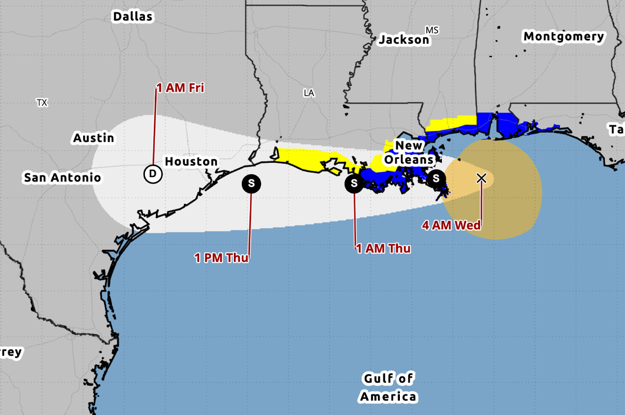
- The warning remains in effect from the Okaloosa-Walton County line westward to Morgan City, Louisiana, as well as for metropolitan New Orleans and Lake Pontchartrain. A Tropical Storm Watch has been issued from west of Morgan City to Cameron, Louisiana.
As of 4 a.m., Bertha was located about 165 miles west-southwest of Panama City and about 50 miles east-northeast of the mouth of the Mississippi River. The storm had maximum sustained winds of 50 mph and was moving west at 5 mph. Gradual weakening is forecast to continue over the next several days.
Tropical storm force winds extend outward up to 105 miles from the center. A wind gust of 49 mph was reported at an offshore buoy near Orange Beach, Alabama, in the past hour, the hurricane center said.
Okaloosa County Public Safety Director Patrick Maddox said Tuesday evening that the overall track remains relatively unchanged and the system is expected to remain offshore and slowly push west of the local area by Wednesday afternoon. Wind gusts along the coast were nearing tropical storm force Tuesday evening and were expected to continue through the overnight hours.
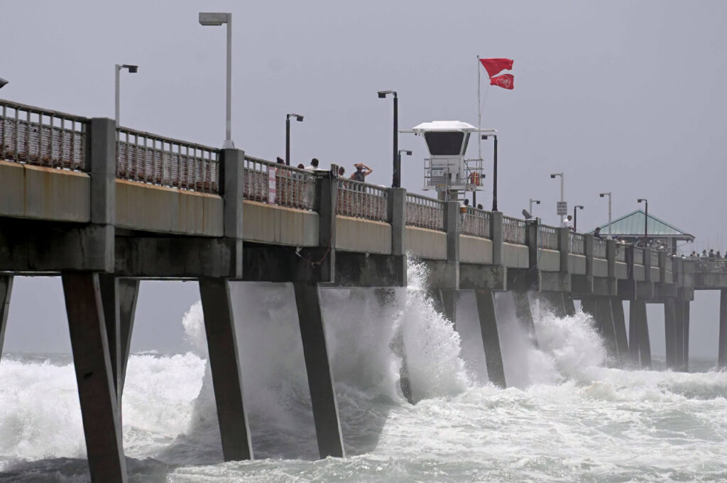
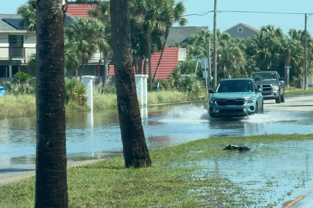
A Coastal Flood Advisory is in effect for coastal Alabama and into coastal Escambia County. Coastal inundation of up to 1 to 3 feet is expected during high tide Wednesday and Thursday mornings. With high tides occurring from around 5 to 8 a.m., impacts are possible during the morning rush hour, Maddox said.
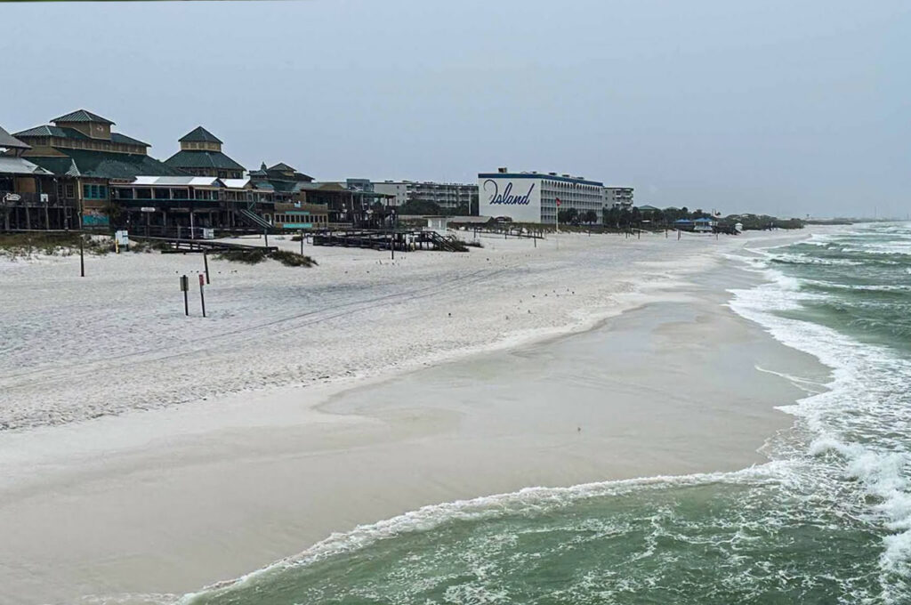
- A high risk of life-threatening rip currents continues through at least Thursday night. A High Surf Warning remains in effect through Wednesday night for dangerously large breaking waves of up to 8 to 11 feet.
Tropical storm force winds and brief bouts of heavy rainfall are possible in outer rainbands, mainly near the coast, Maddox said.
Storm surge of 1 to 3 feet is possible from the Mississippi-Alabama border to the Okaloosa-Walton County line, as well as from Cameron, Louisiana, to the mouth of the Mississippi River and in Lake Pontchartrain, according to the hurricane center.
Rainfall totals of 1 to 4 inches with isolated higher amounts up to 6 inches are expected through Thursday along the central to western Gulf Coast from western Florida to southern Texas. Isolated flash flooding is possible, especially in urban areas.
The next complete advisory from the National Hurricane Center is expected at 10 a.m.