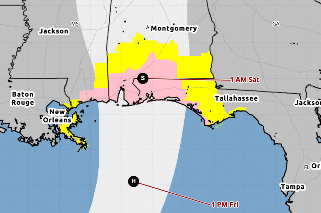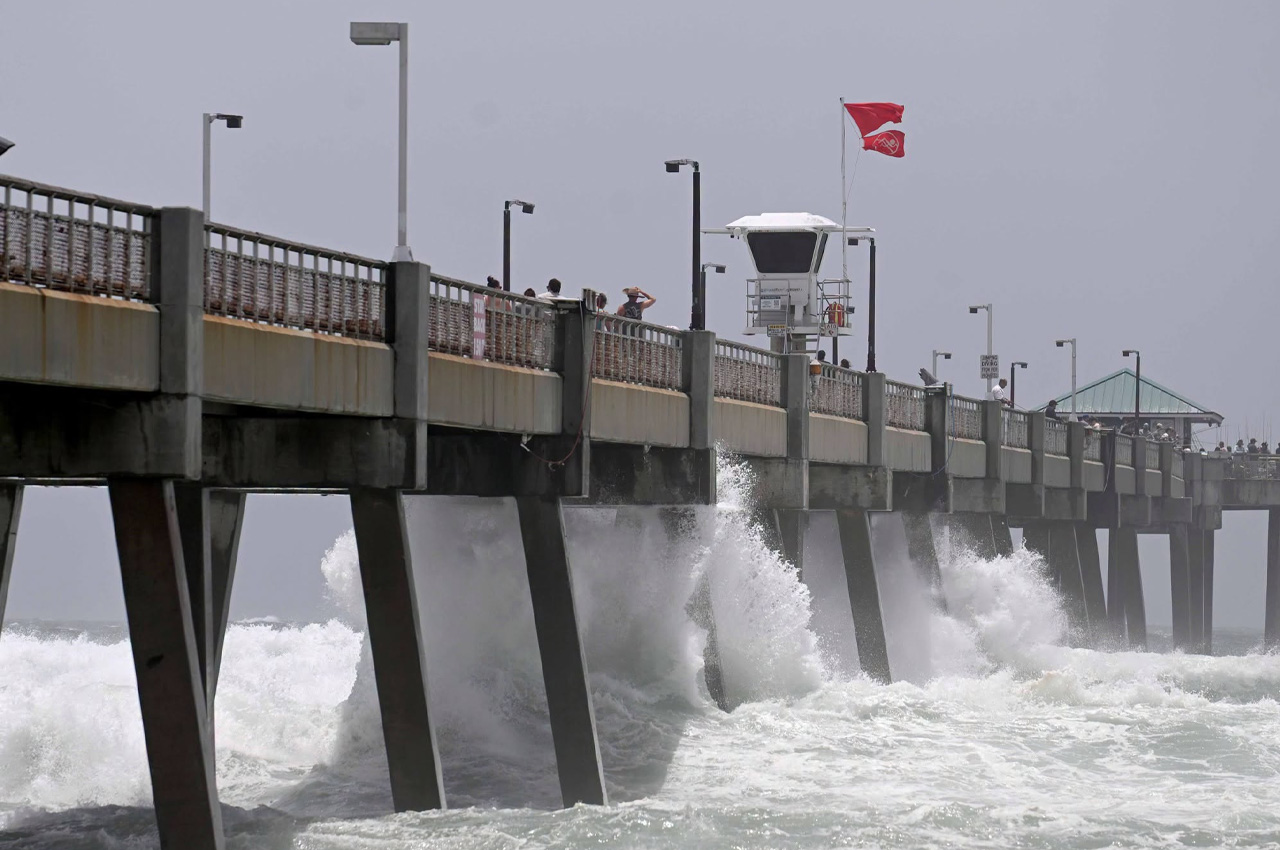
The National Hurricane Center upgraded a Tropical Storm Watch to a Warning across the Florida Panhandle on Tuesday morning after Tropical Storm Bertha shifted slightly north of its earlier forecast track.
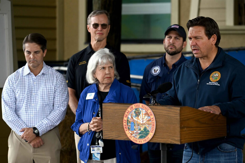
- Okaloosa County Public Safety Director Patrick Maddox said Tuesday afternoon that Bertha is behaving mostly as expected and called the upgrade a “proximity warning” due to the system’s closeness to land. The chance of tropical storm force winds in Okaloosa County, even in Destin, is about 8%, he said.
“The system’s heavy northeasterly shear displaces the heaviest wind and rain to the south and west in this case, but any other storm which was less-sheared would certainly have greater impacts,” Maddox said. “That same shear is forecast to increase over the next 12 to 24 hours, contributing to weakening.”
As of the 10 a.m. advisory, Bertha had maximum sustained winds of 60 mph and was moving north-northwest at about 3 mph. The storm was located about 110 miles south-southwest of Panama City. The central pressure had fallen slightly to 995 millibars.
The Tropical Storm Warning now extends from the Terrebonne-Lafourche Parish line in Louisiana eastward across the Florida Panhandle. A Tropical Storm Watch remains in effect for metropolitan New Orleans and the southern Gulf Coast of Louisiana.
Bertha is expected to turn more west-northwestward and then westward while moving near or along the northern Gulf Coast through midweek, according to the hurricane center. Gradual weakening is forecast, and the center noted it remains possible Bertha could degenerate into a trough sooner than forecast due to a disrupted structure within hostile environmental conditions.
Maddox said no changes have been made to expected local impacts, which include storm conditions over the next two days with periods of heavy rain and gusty winds. The heavier rain and minor coastal flooding are forecast to be limited to the immediate coast.
Henderson Beach and Fred Gannon Rocky Bayou state parks are closing due to the warning. Under Florida Department of Environmental Protection policy, state parks close when a Tropical Storm Warning is in effect, Maddox said.
Double red flags are already flying at area beaches. Maddox urged residents to stay out of the water, noting that conditions can rapidly deteriorate and that cloud-to-ground lightning is a serious threat.
“Any further track shifts could result in local impact adjustment, but we will monitor and continue to update,” Maddox said.
The National Hurricane Center said interests elsewhere in Louisiana and Texas should monitor the storm’s progress, as additional watches or warnings could be required. Isolated areas of flash flooding are possible through Friday along the Gulf Coast from western Florida into southern Louisiana and the upper Texas coast.
The next complete advisory is expected at 4 p.m. CDT.