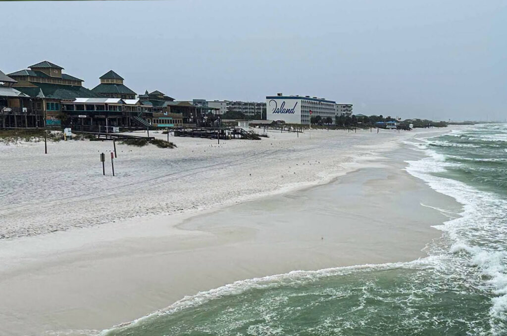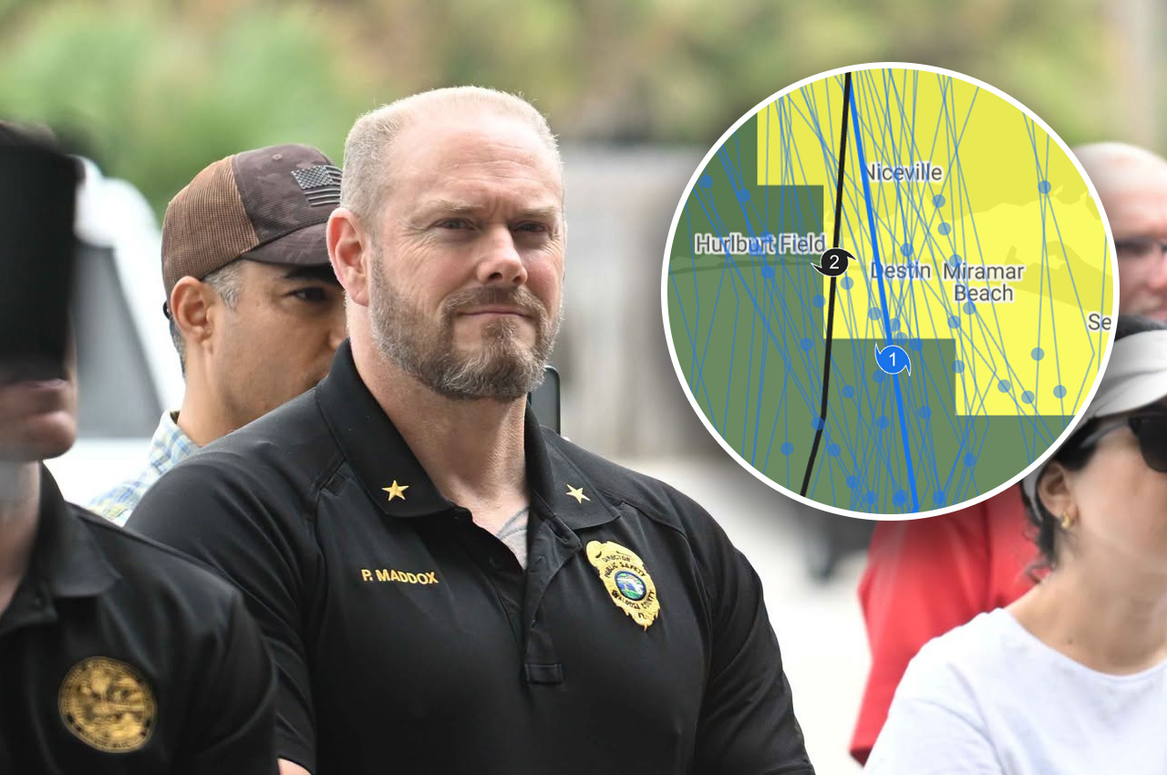
The eyewall of Hurricane Isaias came ashore in the middle of Destin as a Category 2 storm with maximum sustained winds of 105 mph, Okaloosa Public Safety Director Patrick Maddox said Sunday.
- “We did get hit by a Category 2, 105 mile-an-hour max-sustained storm, smack in the middle of Destin,” Maddox said during a county livestream. “That’s where the eyewall came ashore.”
The storm quickly degraded as it moved forward, Maddox said, and its effects were not the same across Okaloosa County.
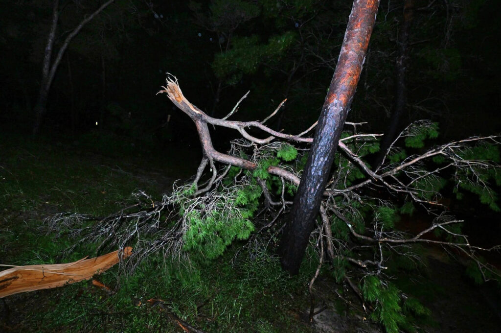
“The south end of the county, in some areas you would drive through and say it really wasn’t that bad, while the north end of the county might have catastrophic damage,” he said.
Where the strongest gusts went
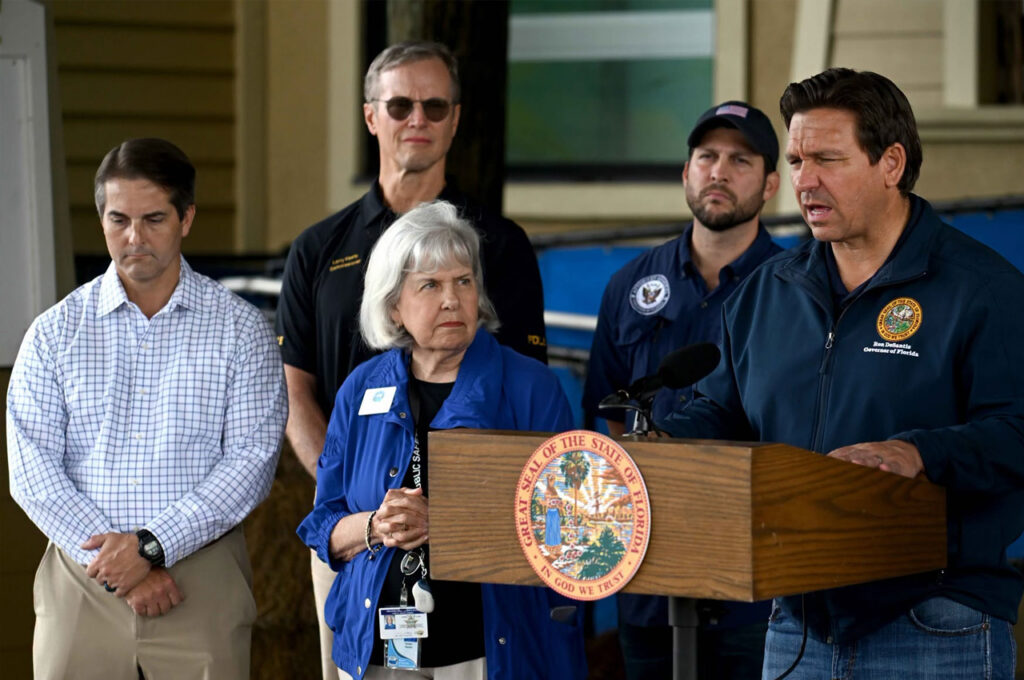
Gov. Ron DeSantis described a similar pattern across the region at a press conference later Sunday in Milton. He said Isaias made landfall Friday night as “basically a strong Category 2 storm” and that wind shear changed where its strongest winds were felt.
“Because of the wind shear, you had this interesting dynamic where there was like a jet stream that went northwest,” DeSantis said. “So the storm entered in Okaloosa County. A lot of the real significant gusts were in Santa Rosa and in northeastern Escambia, and you see that with some of the damage and some of the debris.”
DeSantis said he saw significant damage in Santa Rosa County and other places to the northwest of where the storm entered, including structural damage, wind damage to roofs and many fallen trees.
In the path of the eye
DeSantis toured Okaloosa County on Saturday. He said most residents he spoke with described cleanup work and trees that had fallen on roofs, and told him it could have been worse.
- “That was kind of what they were saying based on being in the eye of the storm,” DeSantis said.
Okaloosa County Chairman Trey Goodwin said during the county livestream that the county was fortunate, but he did not minimize the damage.
“I cannot stress enough that even though we were very blessed that we did not get worse destruction, there is significant property damage in this county, both to public property and private property,” Goodwin said.
Storm surge
DeSantis said there were storm surge projections for the entire length of the Panhandle and east to the Big Bend before the storm.
“I don’t think the storm surge was as bad as was feared, thankfully, across the whole region,” he said.
‘Don’t focus on the category’
Maddox said the storm showed why residents should pay attention to expected local impacts and not only a hurricane’s category.
“You’ve heard us say before that don’t focus on the category of a storm for local impacts,” Maddox said. “There was nothing more true than that during this storm.”
River flooding still possible
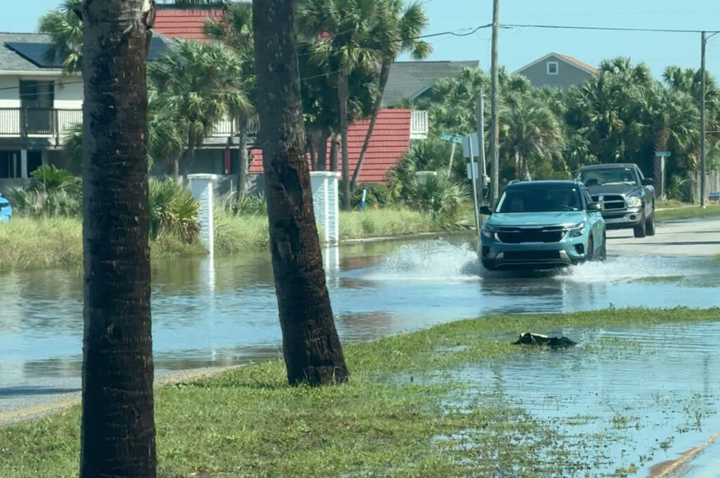
DeSantis said the state is monitoring rising water levels along the Blackwater and Shoal rivers, particularly near U.S. Highway 90 and Interstate 10 in the Crestview area.
“That flooding could impact roadways,” DeSantis said.
He said search and rescue personnel remain on standby. The state did not have to mobilize air assets for search and rescue after the storm, and there was not a large number of 911 calls compared to past storms, according to the Governor.
Power restoration
As of noon Sunday, about 200,000 accounts had been restored and about 300,000 were without power, DeSantis said. About 240,000 of those without power are Florida Power & Light accounts.
DeSantis said Florida Power & Light’s schedule calls for virtually everything to be restored by sometime Monday, with anything beyond that due to infrastructure that needs to be rebuilt. The co-op serving Walton County anticipates full restoration no later than sometime Tuesday, he said.
In Okaloosa County, most homes and businesses have power again and most roads are open, according to Goodwin.
DeSantis said two storm-related deaths have been confirmed and that the state has not received reports of any additional fatalities.