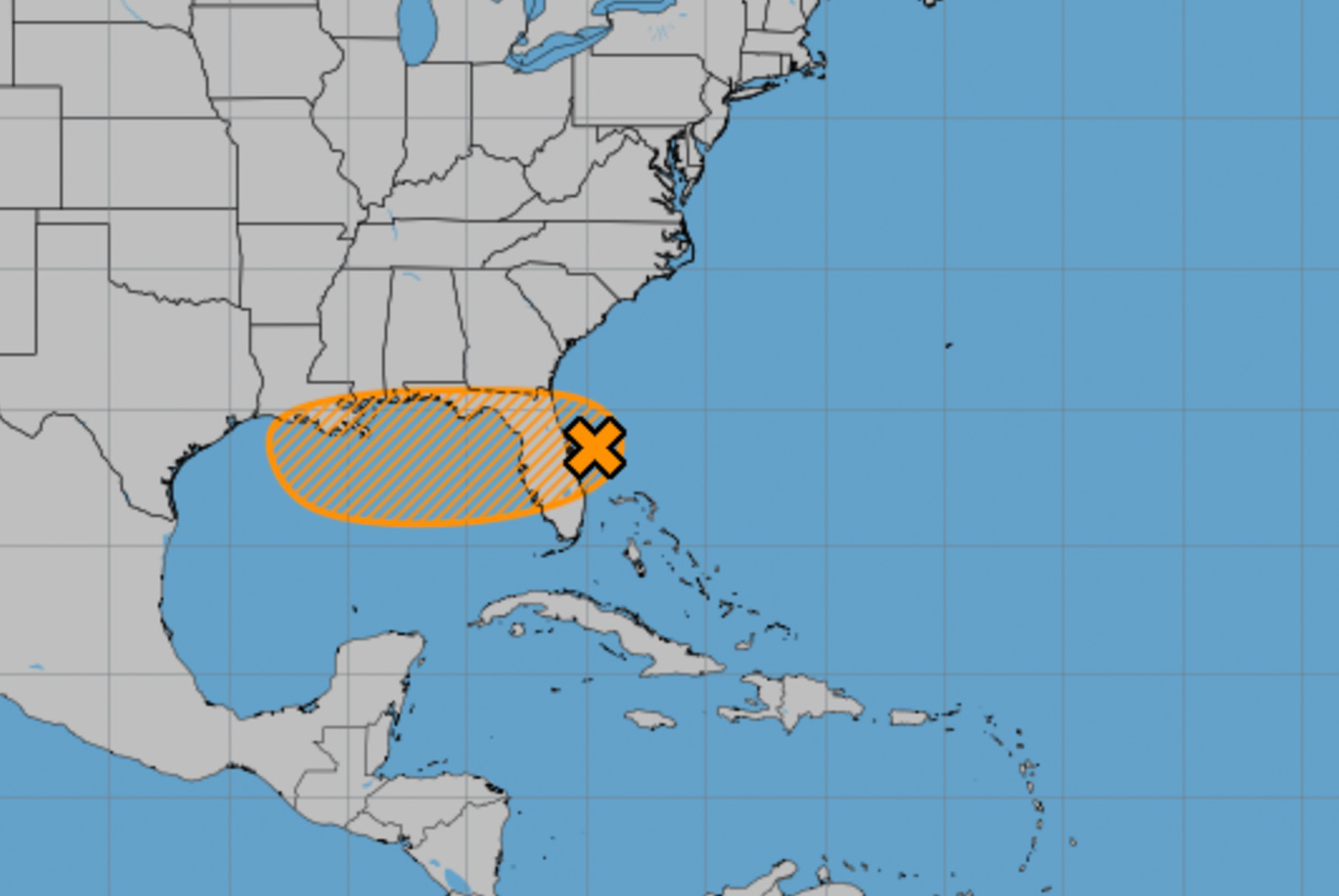
The National Hurricane Center reported Tuesday morning that satellite-derived wind data shows the low pressure system is gradually becoming better defined, though shower and thunderstorm activity remains disorganized.
- The system is forecast to move westward across the Florida Peninsula today and tonight, then reach the northeastern Gulf by the middle part of this week.
Environmental conditions appear generally favorable for additional development, and a tropical depression could form by the middle to latter part of this week as the system moves across the northeastern and north-central Gulf, according to the NHC.
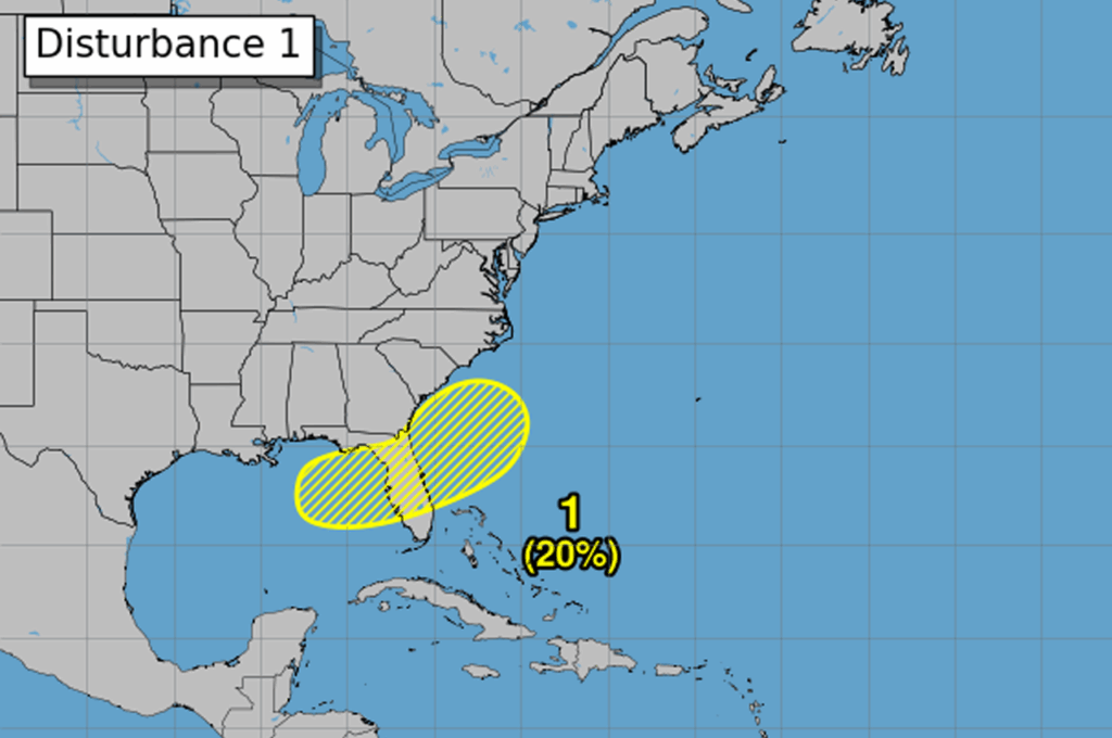
The Hurricane Center gives the system a 40% chance of formation through both 48 hours and seven days.
Okaloosa County Public Safety Director Patrick Maddox said Monday that his office continues to track the system, noting at the time that the NHC currently had it at a 30% chance of development through the end of the week.
- “Potential for development is currently low with this system and confidence remains low on where it would go if it were to develop,” Maddox said in a briefing.
Regardless of whether the system develops into a tropical depression, heavy rainfall could produce localized flash flooding over portions of Florida through mid-week. Heavy rainfall could also cause flash flooding for portions of the north-central Gulf Coast during the middle to latter portions of this week, the NHC warned.
Maddox advised residents to continue closely monitoring the system and watch for updates from his office and the National Hurricane Center. The next email briefing from Okaloosa County will be sent by 5 p.m. Tuesday or sooner if confidence or probabilities significantly increase.