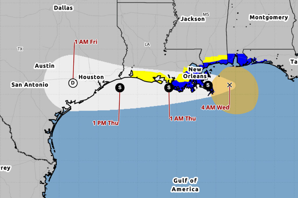
Potential Tropical Cyclone One was moving northeast along the Texas coast early Wednesday and could briefly strengthen into a tropical storm today before moving inland over southwestern Louisiana by tonight, the National Hurricane Center said.
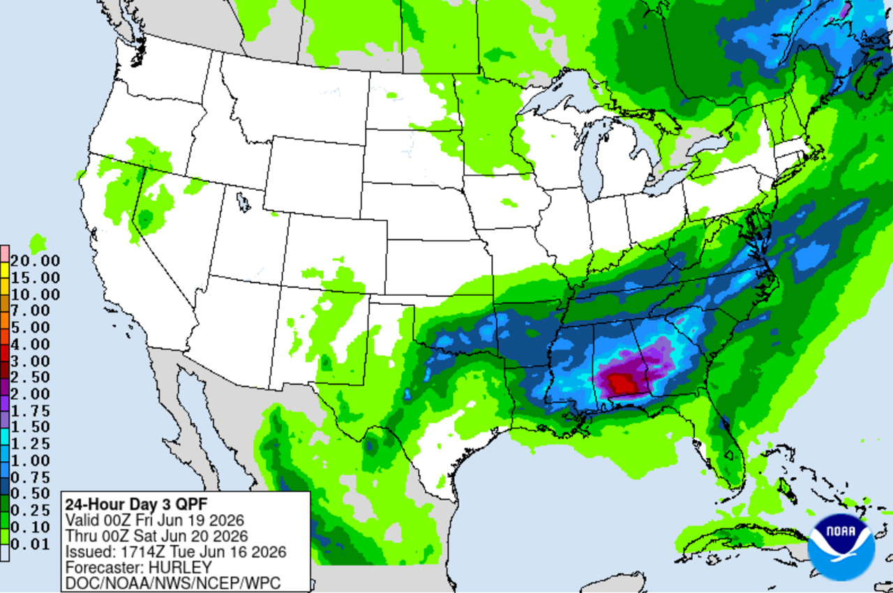
- The system is expected to bring 3 to 5 inches of rain to the north end of Okaloosa County and 2 to 4 inches near the beaches through Friday, with a low-end severe weather risk added for the area, Okaloosa County Public Safety Director Patrick Maddox said Tuesday night.
At 4 a.m. CDT Wednesday, the disturbance was centered in the Gulf off the central Texas coast, the NHC said. Maximum sustained winds were near 30 mph with higher gusts, and the minimum central pressure was 1003 millibars. The agency said some strengthening was forecast and the disturbance could become a tropical storm Wednesday, with weakening anticipated once it moves inland.
The system could dissipate by Wednesday night or early Thursday. The NHC put the formation chance at 60% through both 48 hours and seven days.
Maddox said the system has a 60% chance of brief further development as it pokes out into the Gulf off the coast of Texas before bending back north into Louisiana. He said the storm’s name makes no difference and the impacts will be the same: “rain, rain, rain.”
The 1-out-of-5 severe weather risk is mainly for damaging wind gusts in the strongest storms, Maddox said, though brief tornadoes or waterspouts cannot be ruled out. Wednesday into Thursday may bring similar conditions.
- “Brief tornadoes are real concerns in landfalling tropical weather bands, so remain weather-aware,” Maddox said.
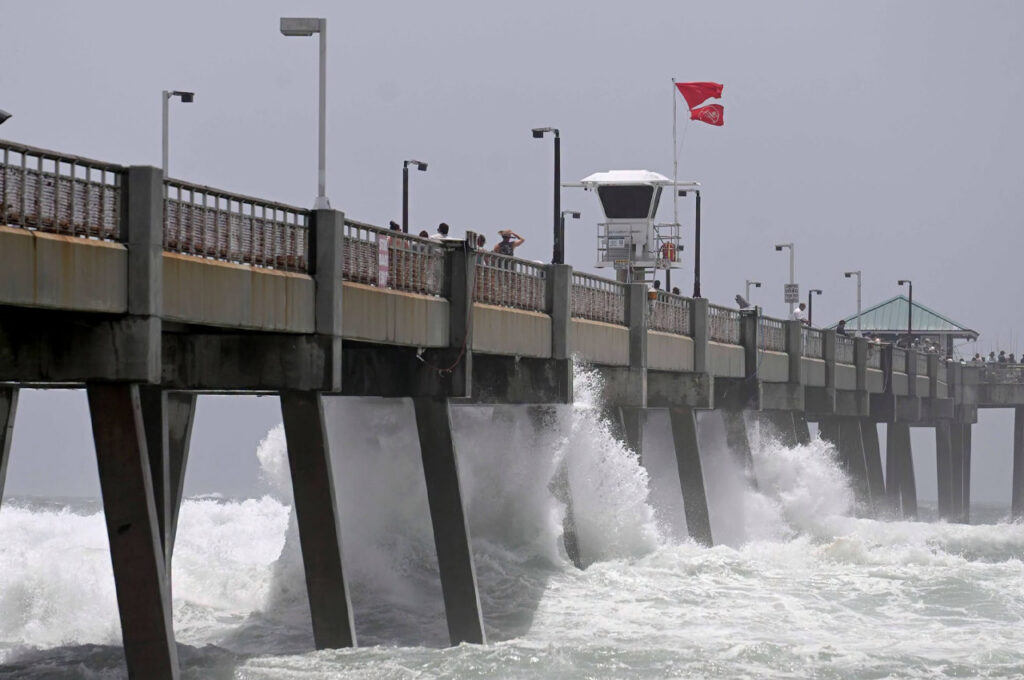
No river flooding is currently forecast, Maddox said, though pooling water on roads and in low-lying areas can occur with any multi-day thunderstorm impact. Rip currents and high surf are also expected to persist through Friday.
Maddox said he will have a call with the National Weather Service at 11 a.m. Wednesday, as many areas in the Mobile forecast service area to the west are projected to receive greater impacts.
“We’ll continue to monitor and update you,” Maddox said.