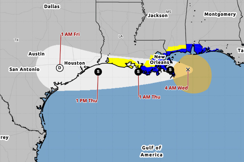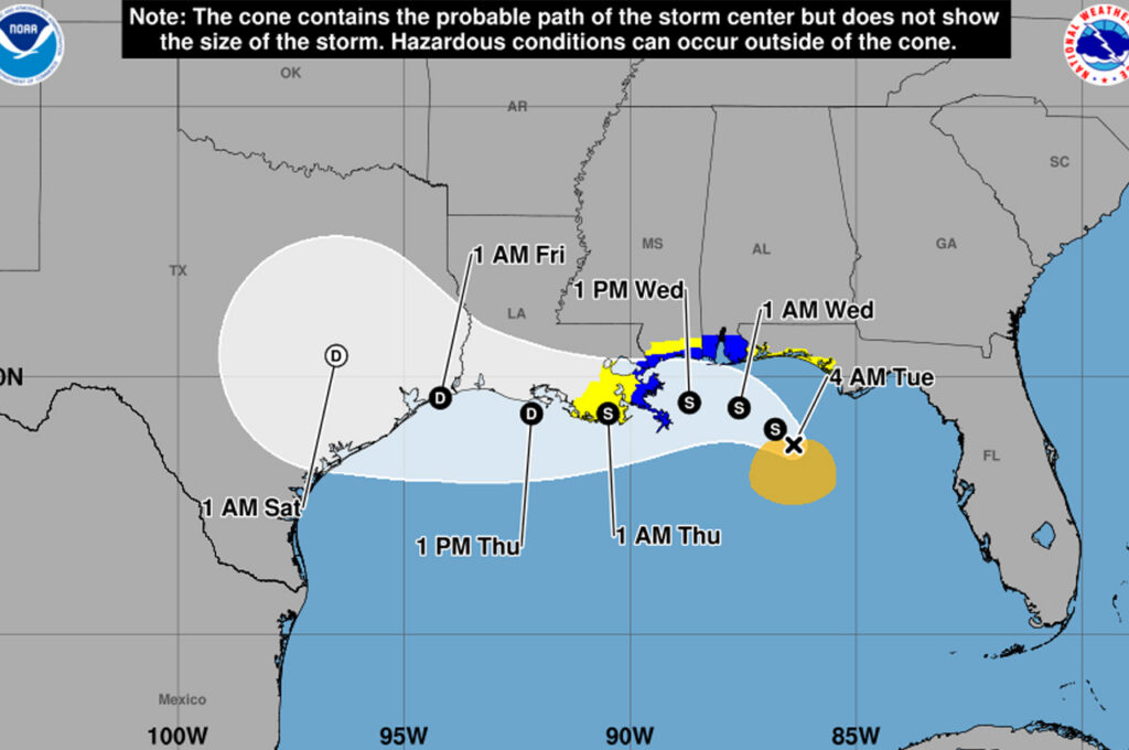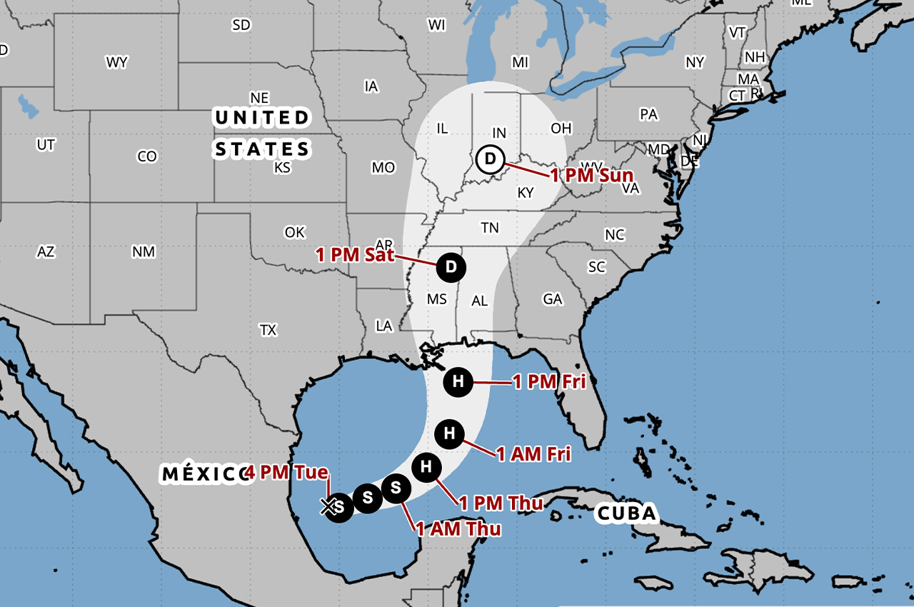
Tropical Depression Nine formed over the Gulf on Tuesday afternoon and is forecast to strengthen quickly, becoming a hurricane on Thursday before approaching the U.S. northern Gulf Coast on Friday, according to the National Hurricane Center.
- As of 4 p.m. Tuesday, the center of the depression was located about 630 miles southwest of the mouth of the Mississippi River and about 380 miles west of Progreso, Mexico, according to the first advisory on the system.
Maximum sustained winds were near 35 mph with higher gusts.
“Steady strengthening is forecast, and the depression is expected to become a tropical storm by early Wednesday and a hurricane on Thursday,” the National Hurricane Center wrote.
There are no coastal watches or warnings in effect, but watches could be required on Wednesday, according to the National Hurricane Center’s key messages for the depression.
“There is an increasing risk of dangerous wind and storm surge impacts along portions of the northern Gulf Coast,” the National Hurricane Center wrote.
Residents from Louisiana to the Florida Panhandle should closely monitor the latest forecast updates and ensure they have their hurricane plan in place, according to the key messages.
Forecast track
The depression is moving toward the east near 5 mph. An east to east-northeast motion is expected during the next couple of days, with a turn to the northeast anticipated by Friday, according to the advisory.
On the forecast track, the depression is expected to pass to the north of the Yucatan Peninsula on Thursday and approach the U.S. northern Gulf Coast on Friday.
Rainfall
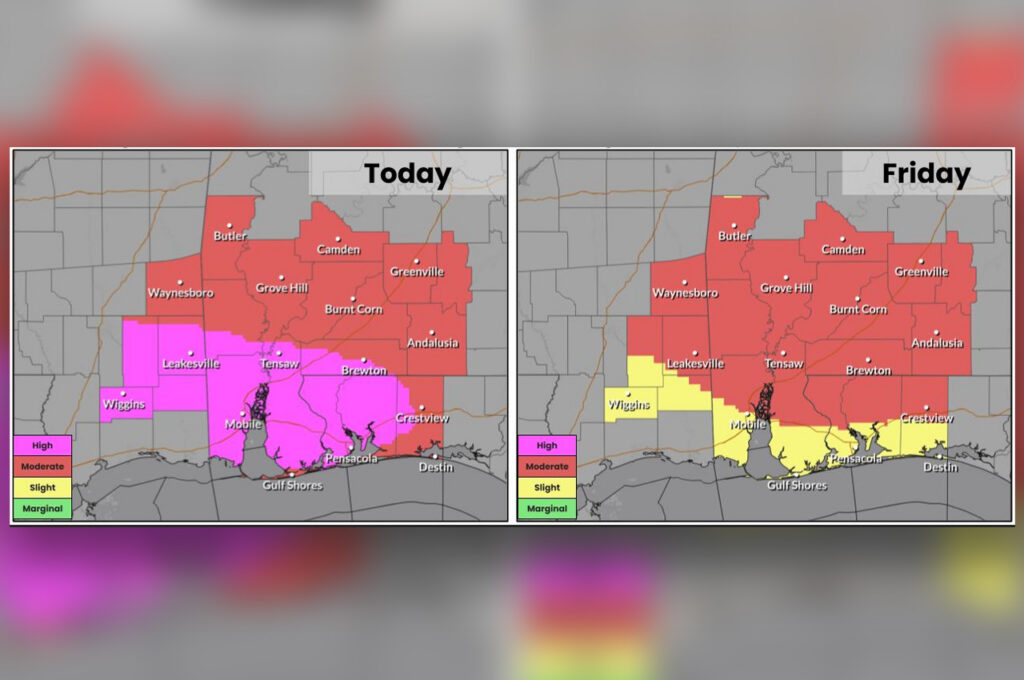
From Friday through the weekend, the system is expected to produce rainfall amounts of 3 to 6 inches, with localized totals up to 10 inches, across the central U.S. Gulf Coast from southeastern Louisiana to the Florida Panhandle, according to the National Hurricane Center.
“Flash and urban flooding, along with isolated river flooding, will be possible,” the advisory states.
Sandbags available Wednesday
Okaloosa County will offer sandbags to the public beginning at 4 p.m. Wednesday, Oct. 7, at two locations, according to the county:
- 714 Essex Road in Fort Walton Beach
- 1759 S. Ferdon Blvd. in Crestview
The next complete advisory from the National Hurricane Center is scheduled for 10 p.m. Tuesday.
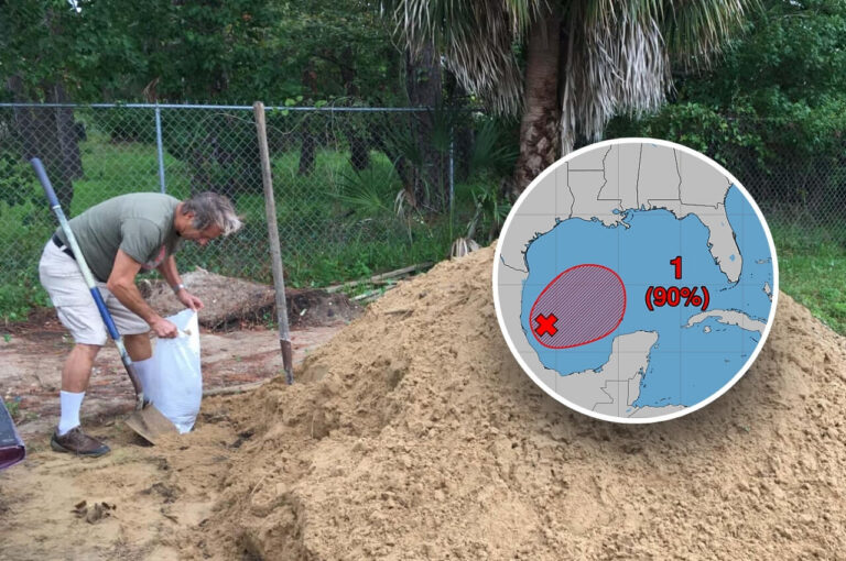
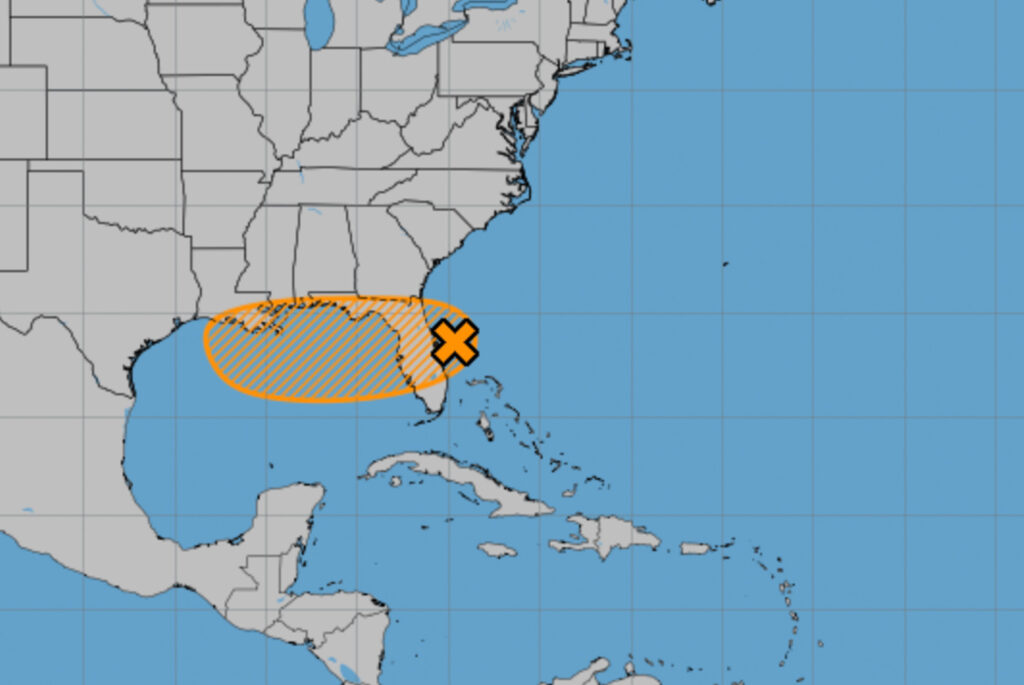
Okaloosa County to offer sandbags as tropical development likely in Gulf
Okaloosa County will offer sandbags at two locations beginning Wednesday at 4 p.m. as a tropical system in the Gulf could bring more heavy rain.